Forget waiting for the next satellite pass.
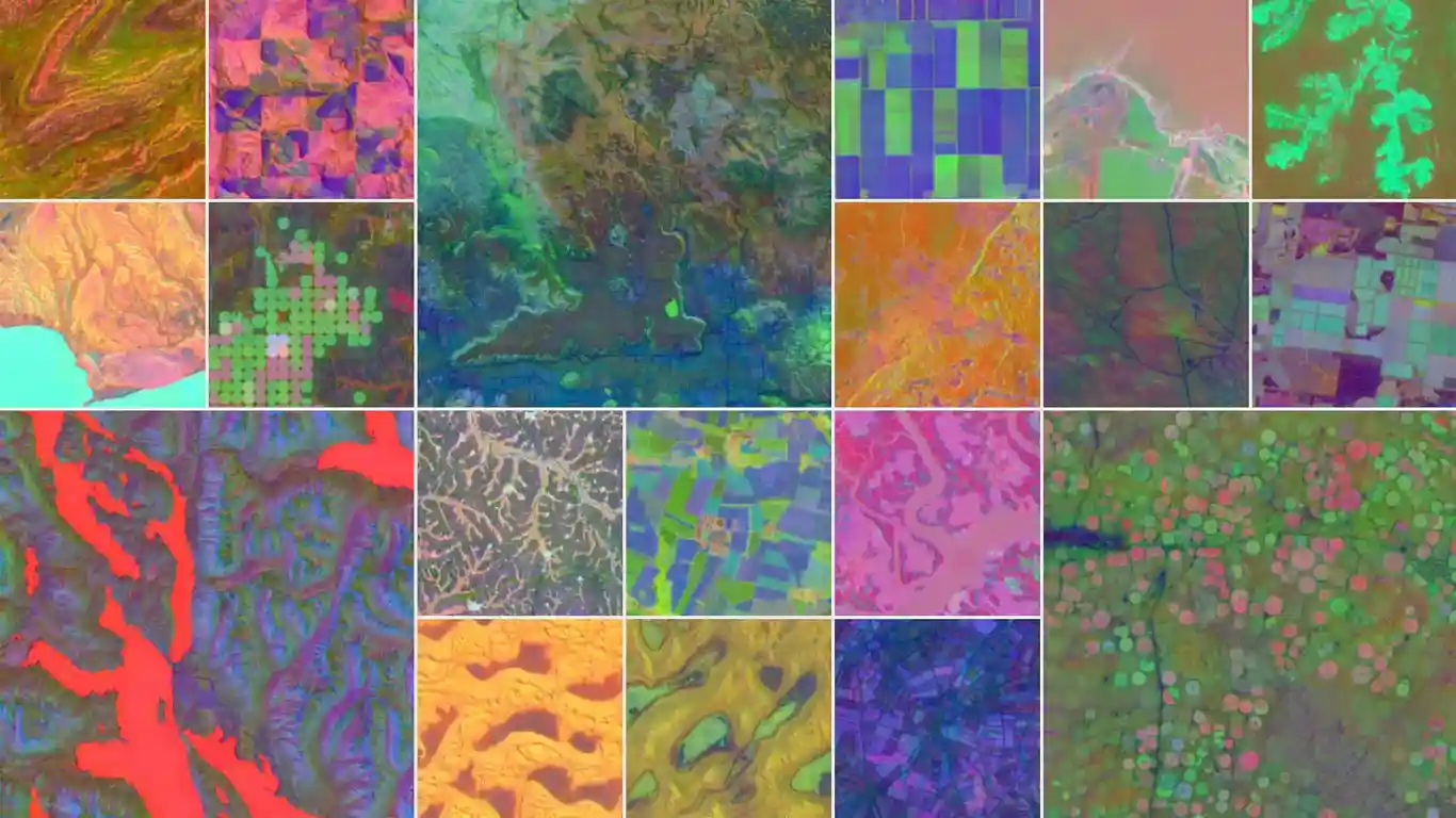
Google DeepMind’s AlphaEarth Foundations is giving scientists a real-time, 10-square-metre level view of our planet — without launching a single rocket.
This AI system blends trillions of images from public satellites, radar scans, climate models, and 3D mapping to track environmental changes almost instantly.
Why it matters?
Farmers can spot crop stress before it spreads.
Conservationists can detect deforestation as it happens.
Urban planners can track new construction in days, not years.
During testing, AlphaEarth was 24% more accurate than similar models — while using far less storage, making massive analysis possible on a global scale.
Already in use by over 50 organisations, it’s powering projects like MapBiomas in Brazil, which now maps the Amazon rainforest faster and more precisely than ever before.
This isn’t just better maps — it’s a shift in how we understand food security, water management, and climate change.
📍 Question: If researchers can see environmental changes in real time, how could it change policy and action?